Federal Electoral District Fact Sheets
-
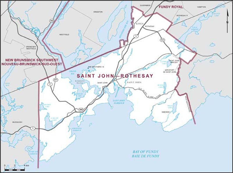
Electoral District:
Saint John—RothesayProvince/Territory:
New Brunswick-
Population:
81,996 -
Area:
390 km² -
Population density:
210.00/km² -
Population change:
+3.3% -
Average age:
43 -
Average income:
$48,080 -
Voter turnout:
59%
Language spoken most often at home:
-
English:
75,285 -
French:
995 -
Indigenous language:
0 -
Most popular other language:
-
Arabic:
890
-
-
All others:
2,615
-
-
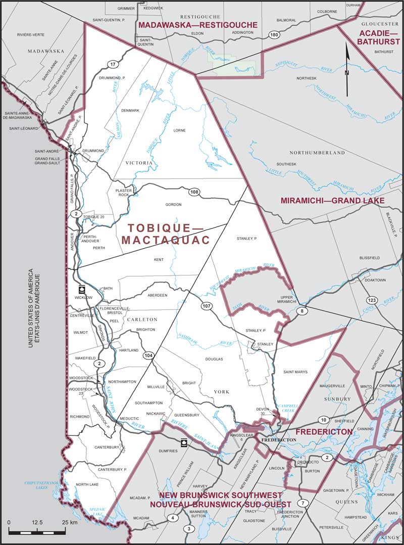
Electoral District:
Tobique—MactaquacProvince/Territory:
New Brunswick-
Population:
69,344 -
Area:
14,529 km² -
Population density:
5.00/km² -
Population change:
+1% -
Average age:
44 -
Average income:
$44,680 -
Voter turnout:
62%
Language spoken most often at home:
-
English:
57,875 -
French:
8,750 -
Indigenous language:
35 -
Most popular other language:
-
Punjabi (Panjabi):
140
-
-
All others:
930
-
-
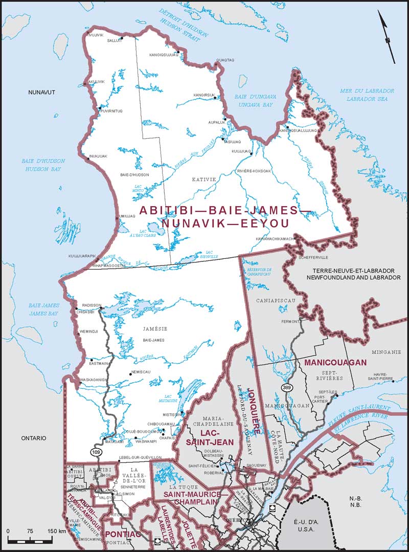
Electoral District:
Abitibi—Baie-James—Nunavik—EeyouProvince/Territory:
Québec-
Population:
89,087 -
Area:
731,401 km² -
Population density:
0.10/km² -
Population change:
+1.5% -
Average age:
37 -
Average income:
$53,050 -
Voter turnout:
45%
Language spoken most often at home:
-
English:
6,350 -
French:
54,405 -
Indigenous language:
23,490 -
Most popular other language:
-
Spanish:
105
-
-
All others:
310
-
-
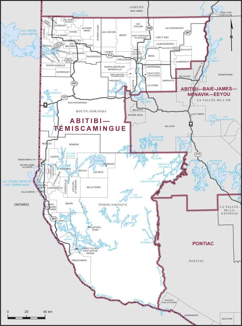
Electoral District:
Abitibi—TémiscamingueProvince/Territory:
Québec-
Population:
103,735 -
Area:
33,231 km² -
Population density:
3.00/km² -
Population change:
+0.2% -
Average age:
43 -
Average income:
$50,680 -
Voter turnout:
56%
Language spoken most often at home:
-
English:
3,685 -
French:
97,535 -
Indigenous language:
45 -
Most popular other language:
-
Spanish:
155
-
-
All others:
290
-
-
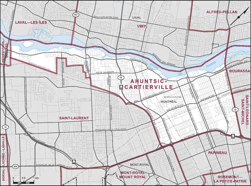
Electoral District:
Ahuntsic-CartiervilleProvince/Territory:
Québec-
Population:
118,170 -
Area:
22 km² -
Population density:
5,452.00/km² -
Population change:
+0.6% -
Average age:
42 -
Average income:
$50,200 -
Voter turnout:
64%
Language spoken most often at home:
-
English:
12,850 -
French:
65,055 -
Indigenous language:
5 -
Most popular other language:
-
Arabic:
7,845
-
-
All others:
18,385
-
-
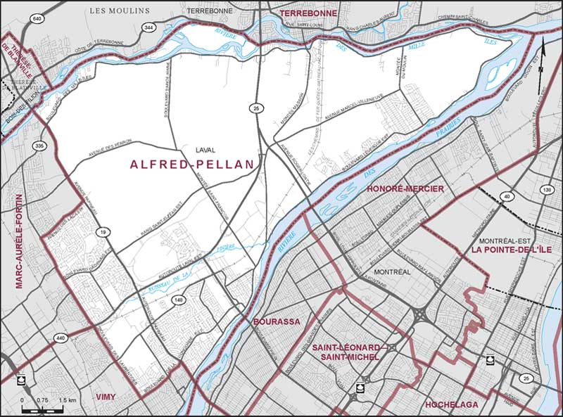
Electoral District:
Alfred-PellanProvince/Territory:
Québec-
Population:
102,020 -
Area:
113 km² -
Population density:
900.00/km² -
Population change:
+0.6% -
Average age:
42 -
Average income:
$53,550 -
Voter turnout:
67%
Language spoken most often at home:
-
English:
16,250 -
French:
65,345 -
Indigenous language:
0 -
Most popular other language:
-
Spanish:
2,630
-
-
All others:
9,170
-
-
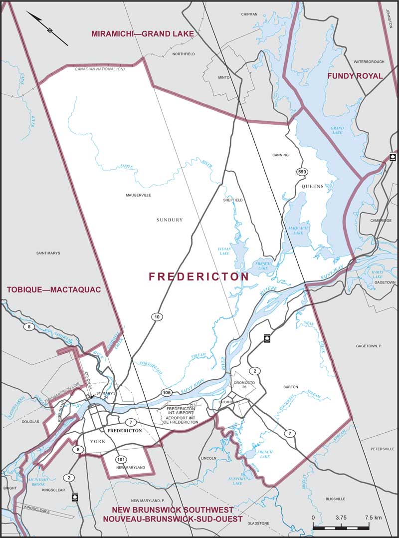
Electoral District:
FrederictonProvince/Territory:
New Brunswick-
Population:
87,436 -
Area:
1,499 km² -
Population density:
58.00/km² -
Population change:
+5% -
Average age:
41 -
Average income:
$50,760 -
Voter turnout:
66%
Language spoken most often at home:
-
English:
76,945 -
French:
3,465 -
Indigenous language:
20 -
Most popular other language:
-
Arabic:
915
-
-
All others:
3,190
-
-
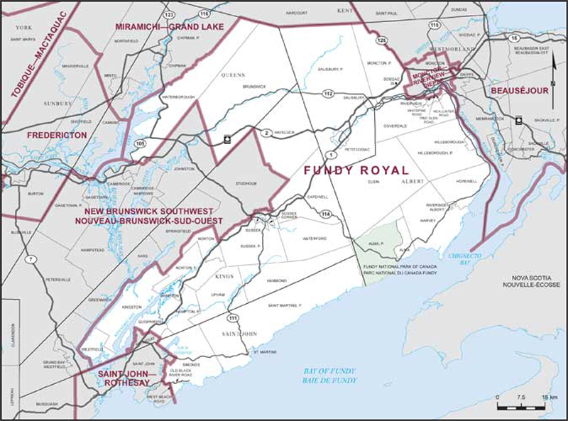
Electoral District:
Fundy RoyalProvince/Territory:
New Brunswick-
Population:
83,721 -
Area:
7,226 km² -
Population density:
12.00/km² -
Population change:
+4.7% -
Average age:
43 -
Average income:
$49,600 -
Voter turnout:
67%
Language spoken most often at home:
-
English:
80,090 -
French:
1,390 -
Indigenous language:
0 -
Most popular other language:
-
Mandarin:
150
-
-
All others:
825
-
-
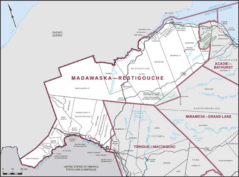
Electoral District:
Madawaska—RestigoucheProvince/Territory:
New Brunswick-
Population:
60,184 -
Area:
11,682 km² -
Population density:
5.00/km² -
Population change:
-0.3% -
Average age:
48 -
Average income:
$41,280 -
Voter turnout:
62%
Language spoken most often at home:
-
English:
11,735 -
French:
44,770 -
Indigenous language:
5 -
Most popular other language:
-
Arabic:
65
-
-
All others:
325
-
-
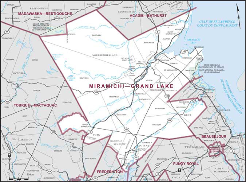
Electoral District:
Miramichi—Grand LakeProvince/Territory:
New Brunswick-
Population:
57,520 -
Area:
16,837 km² -
Population density:
3.00/km² -
Population change:
+0.2% -
Average age:
47 -
Average income:
$40,480 -
Voter turnout:
67%
Language spoken most often at home:
-
English:
43,930 -
French:
10,775 -
Indigenous language:
410 -
Most popular other language:
-
Tagalog (Pilipino, Filipino):
75
-
-
All others:
330
-
-
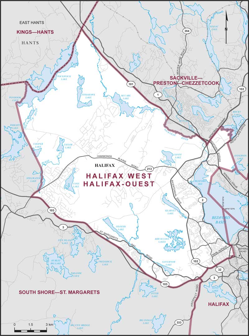
Electoral District:
Halifax WestProvince/Territory:
Nova Scotia-
Population:
111,944 -
Area:
227 km² -
Population density:
493.00/km² -
Population change:
+16.3% -
Average age:
41 -
Average income:
$54,600 -
Voter turnout:
65%
Language spoken most often at home:
-
English:
92,950 -
French:
805 -
Indigenous language:
0 -
Most popular other language:
-
Arabic:
2,720
-
-
All others:
10,495
-
-
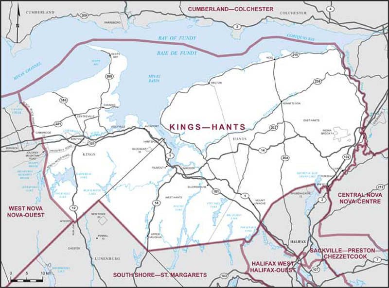
Electoral District:
Kings—HantsProvince/Territory:
Nova Scotia-
Population:
87,744 -
Area:
4,117 km² -
Population density:
21.00/km² -
Population change:
+5.1% -
Average age:
45 -
Average income:
$44,800 -
Voter turnout:
63%
Language spoken most often at home:
-
English:
85,070 -
French:
250 -
Indigenous language:
15 -
Most popular other language:
-
German:
265
-
-
All others:
1,010
-
-
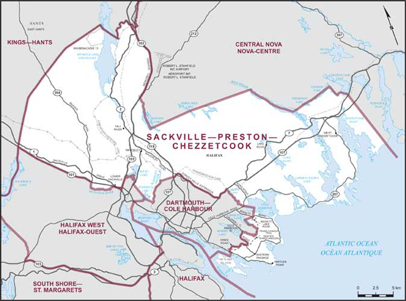
Electoral District:
Sackville—Preston—ChezzetcookProvince/Territory:
Nova Scotia-
Population:
89,524 -
Area:
645 km² -
Population density:
139.00/km² -
Population change:
+3.5% -
Average age:
42 -
Average income:
$53,200 -
Voter turnout:
63%
Language spoken most often at home:
-
English:
86,815 -
French:
685 -
Indigenous language:
5 -
Most popular other language:
-
Arabic:
110
-
-
All others:
920
-
-
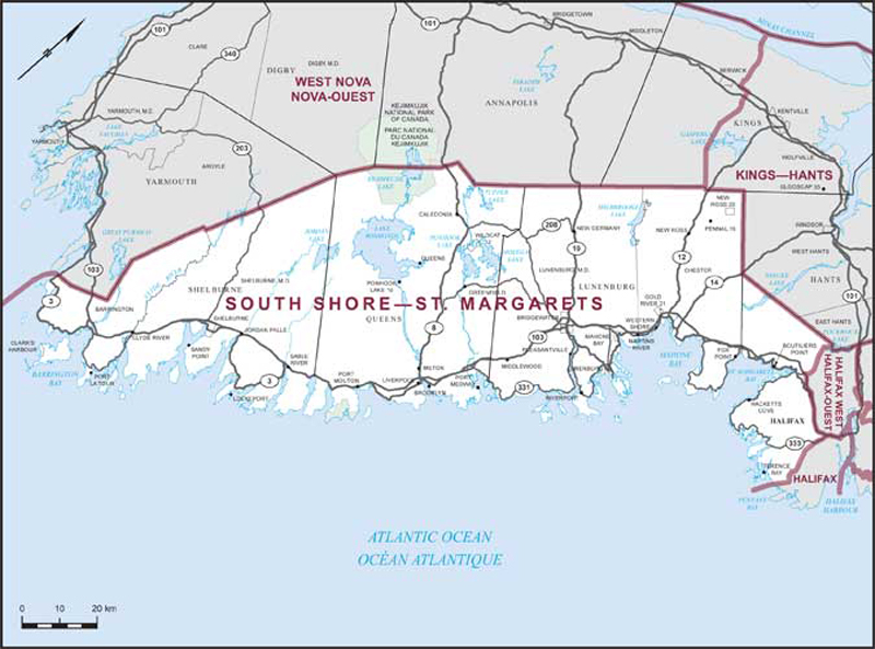
Electoral District:
South Shore—St. MargaretsProvince/Territory:
Nova Scotia-
Population:
94,482 -
Area:
8,462 km² -
Population density:
11.00/km² -
Population change:
+2.9% -
Average age:
48 -
Average income:
$46,800 -
Voter turnout:
63%
Language spoken most often at home:
-
English:
91,975 -
French:
265 -
Indigenous language:
0 -
Most popular other language:
-
German:
155
-
-
All others:
755
-
-
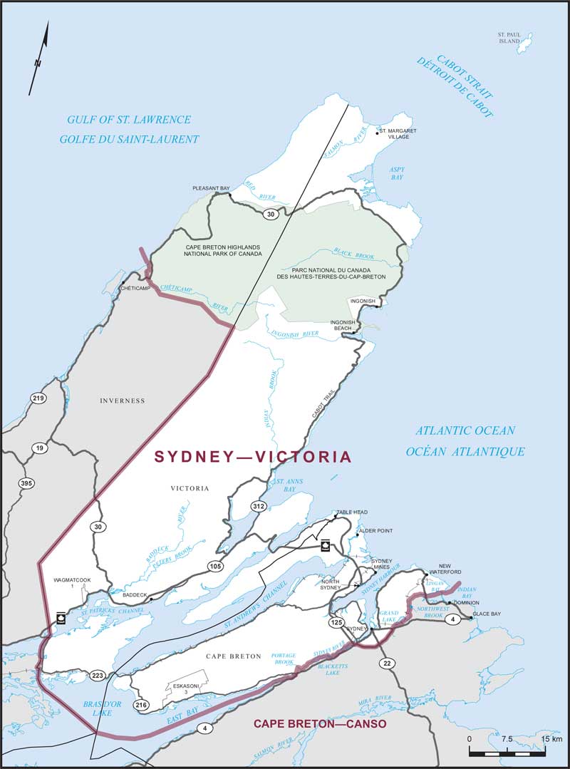
Electoral District:
Sydney—VictoriaProvince/Territory:
Nova Scotia-
Population:
72,361 -
Area:
4,282 km² -
Population density:
17.00/km² -
Population change:
+0.3% -
Average age:
46 -
Average income:
$40,920 -
Voter turnout:
62%
Language spoken most often at home:
-
English:
67,065 -
French:
160 -
Indigenous language:
1,720 -
Most popular other language:
-
Punjabi (Panjabi):
355
-
-
All others:
1,000
-
-
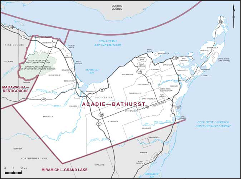
Electoral District:
Acadie—BathurstProvince/Territory:
New Brunswick-
Population:
77,594 -
Area:
5,053 km² -
Population density:
15.00/km² -
Population change:
-0.3% -
Average age:
49 -
Average income:
$40,080 -
Voter turnout:
65%
Language spoken most often at home:
-
English:
14,415 -
French:
60,330 -
Indigenous language:
0 -
Most popular other language:
-
Tagalog (Pilipino, Filipino):
50
-
-
All others:
245
-