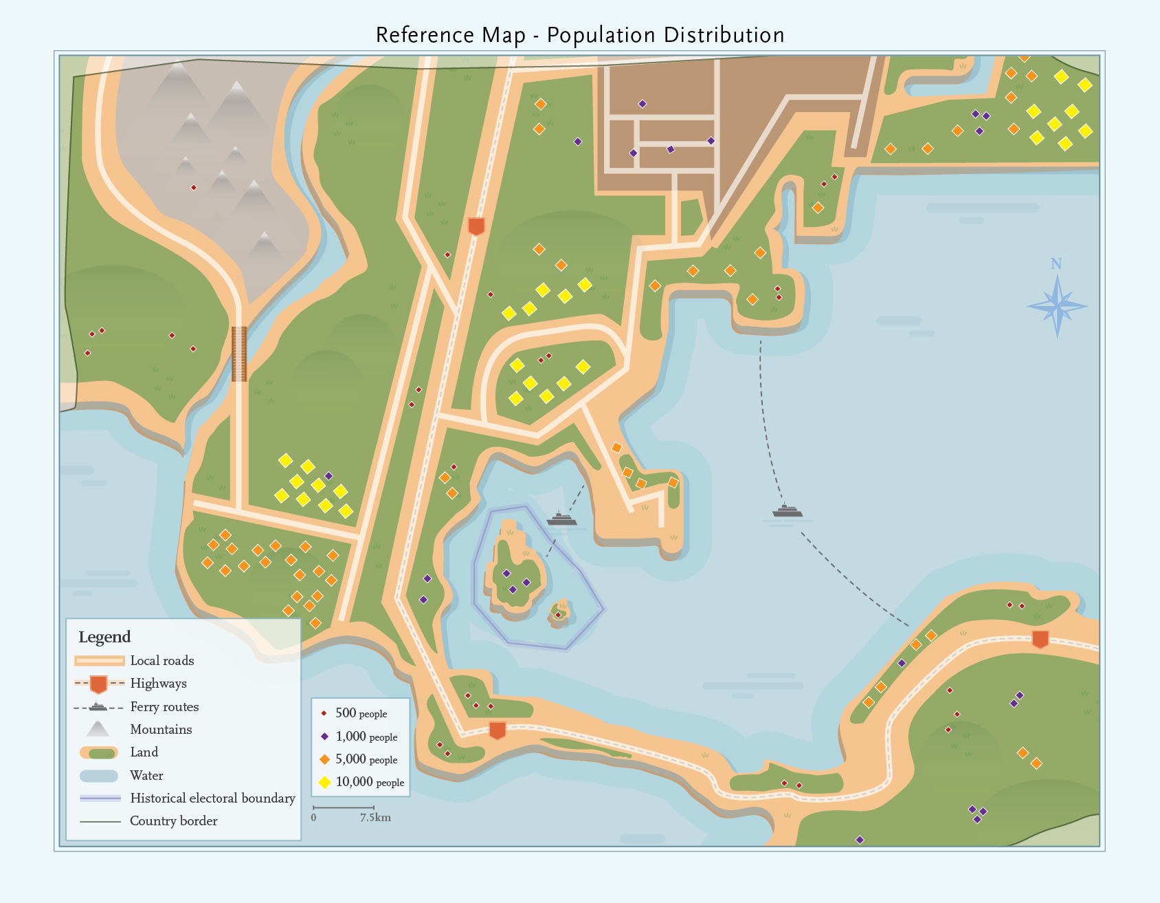
This map shows an imaginary country, with population distributed across the country. Population is represented in four sizes:
- 500 people
- 1,000 people
- 5,000 people
- 10,000 people
Geographical elements in the legend are:
- Local roads
- Highways
- Ferry routes
- Mountains
- Land
- Water
- Historical electoral boundary
- Country border
The scale of the map is 7.5km.
Students may use the information on this map to draw boundaries on their base map.