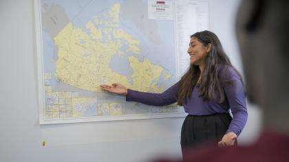
Starting this year, Canada’s federal electoral districts are being reviewed through the process called redistribution. This happens every 10 years, following the national census, and is a great opportunity to bring real-life geographical processes into the classroom. To introduce redistribution in your classroom, you can use Elections Canada’s learning resource called Mapping Electoral Districts.
In this activity, students consider the concept of fairness by mapping electoral boundaries on an imaginary country and making the electoral districts as fair as possible. They reflect on various physical and human geographical factors such as population equality, communities of interest, historical patterns, and geographic size. Working together, students discuss the importance of each factor as their maps take shape. The activity is a great opportunity to make links to careers in geography and to the real-life process of redistribution.
Ten independent commissions, one per province, lead the real-life redistribution process. There are no commissions for the territories, since each has only one electoral district and no boundary changes are needed. The commissions propose a new electoral map for their respective province, using criteria similar to those that students consider for their imaginary country. The commissions also consult with Canadians through public hearings and submit reports and proposals to the House of Commons. In the activity, students consolidate their learning by watching a video interview with an Elections Canada geographer who explains her role in supporting a commission.
You and your class can follow along this process on the Redistribution 2022 website. Engage your students in a class discussion with questions such as:
- How might redistribution affect your community or region?
- How does the real process compare with the simulation in Mapping Electoral Districts?
- What human or physical geographic features in your region might the commission consider?
Using this map, you can also look at how federal electoral boundaries changed between 2003 and 2013, which was the last time redistribution took place. Find your school's electoral community on the map and reflect on why it might have changed or stayed the same. Students can consider their real-world electoral boundary in terms of its physical and human geographic features.
Mapping Electoral Districts is a great activity to introduce redistribution in many classes. It has links to curriculum in various subject areas, including geography, Canadian studies, history, citizenship, political science and social studies.
Let us know how you've presented the topic of redistribution in your classroom on Twitter and Facebook!

