Elections Canada, in collaboration with the Royal Canadian Geographical Society and Can Geo Education, has launched a new educational resource for secondary school classrooms.
Like Elections Canada’s other educational resources, Mapping Electoral Districts is inquiry-based, hands-on, interactive, student-centred, non-partisan and free. It’s also cross-curricular, with links to a variety of subjects including geography, social studies, civics and citizenship, and politics. With a federal election in 2019, this resource is the perfect way to engage students in rich discussions about democracy and the electoral process.
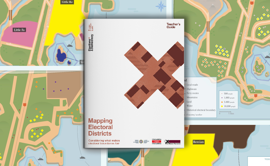
In Mapping Electoral Districts, students work together to explore what makes an electoral district fair by mapping their own electoral boundaries on an imaginary country. To help them make their decisions, they interpret maps and analyze facts on population and geographical landforms while considering the distinction between equality and equity. Afterward, they learn about the real process for determining federal electoral districts by watching an interview with an Elections Canada geographer.
By combining their expertise in elections and geography, Elections Canada and the Royal Canadian Geographic Society have developed a resource that builds students’ knowledge, understanding and interest in elections and democracy through the lens of geography education.
Teachers can download and print out all the materials needed for this lesson on the Elections and Democracy website.
Teacher tip: Mapping Electoral Districts is a great follow-up activity to Geography of Elections, where students lay the groundwork to better understand their own electoral communities.